
I create websites that make your brand and company stand out. I also create fully automated GIS and Remote Sensing web apps that gives you useful insights from space
The fusion of my passion for design, development, and seamless user experiences places me at the intersection of creativity and technology in the digital world.
More about me↗Focus Areas
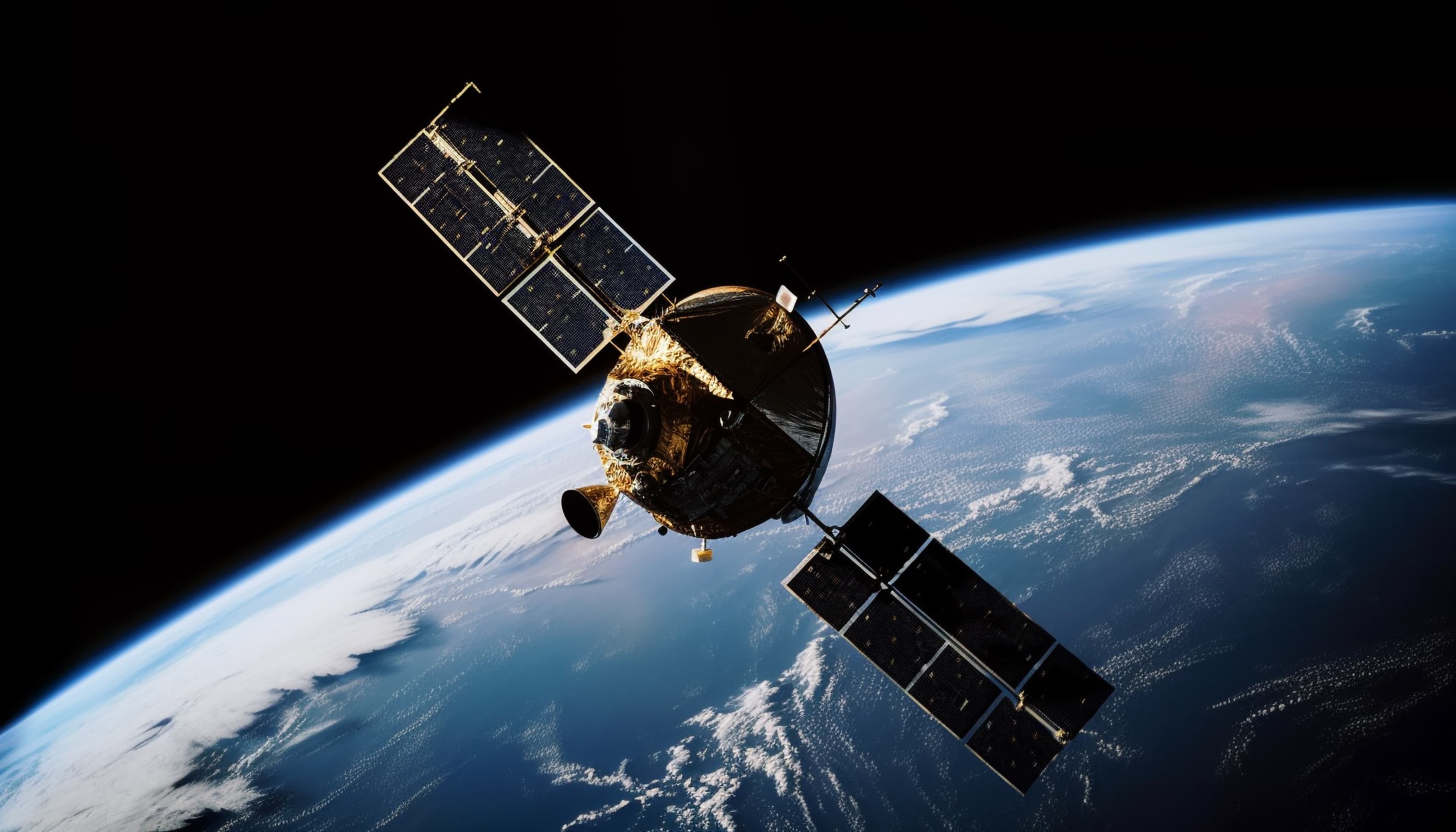
Remote Sensing & Machine Learning
Processing satellite imagery and building machine learning models to extract meaningful insights from geospatial data.

Web Development
Building fast, accessible websites and applications with React, Next.js, and modern full-stack tools.
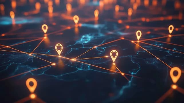
GIS & Web Dashboards
Turning spatial data into interactive maps and dashboards that make complex geographic information easy to explore.
Impressive Works
Here's a selection of projects that showcase my passion for design and development, reflecting creativity and innovation.
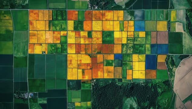
Trained a machine learning model to identify various tree species with over 90% accuracy.
•Tree Species Identification Model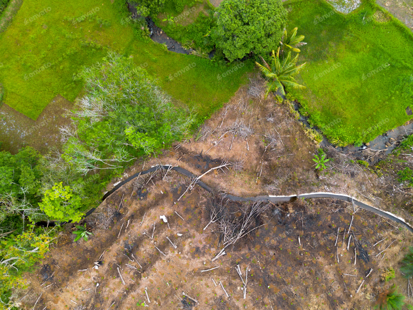
Trained a machine learning model for automated deforestation detection.
•Deforestation Analysis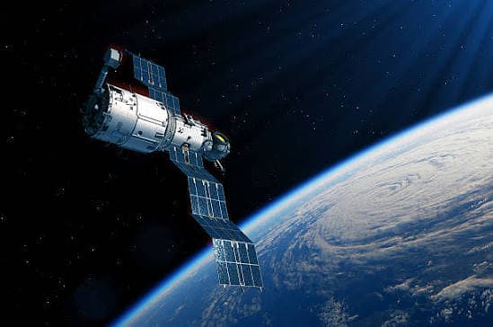
Created a dashboard that runs various remote sensing analyses on the fly for any area of interest.
•Remote Sensing Dashboard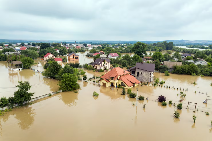
Dashboard that predicts flood risk anywhere using an ML model trained on 931 global flood events. Enter a location to generate the flood risk map.
↗Flood Risk Predictor
Website for DreyPictures, a photography business, built with React, Next.js, Tailwind CSS, TypeScript, and MongoDB.
↗DreyPictures
Official landing page for Sark Auto, a car dealership, built with React, JavaScript, and SCSS.
↗SarkAutoMy Skills
A blend of modern web development and geospatial engineering — the tools I use to turn data into something people can actually use.
Languages
Writing clean, efficient code to build applications and automate geospatial workflows.
Web Development
Building fast, full-stack web applications from interface to server.
Geospatial & CAD
Processing spatial data and producing maps and technical drawings.
Tools & Cloud
Collaborating on projects, designing interfaces, and deploying scalable solutions.
Experience
Remote Sensing Data Scientist
Abeya
April 2025 – Present
- Creating machine learning models for automated tree species identification.
- Creating machine learning models for automated deforestation detection.
- Creating remote sensing dashboards for automated remote sensing analysis on areas of interest, which reduced processing time of the pipeline from about 4 hours to 7 minutes.
- Creating Python scripts to automate workflow tasks.
- Researching ways to improve remote sensing methodology.
Geomatic Engineer
Licensed Professional Surveyor (Mr. Jonas Aryan Paintsil)
September 2022 – August 2023
- Created automated software for coordinate conversion.
- Created software to automatically generate land plans, reducing site plan production time from 45 minutes to 5 minutes.
- Processed satellite imagery and produced thematic and topographic maps using ArcGIS.
- Produced Land Plans using AutoCAD software.
- Performed GNSS data collection and analysis for geospatial accuracy improvement.
- Used Python and Excel for survey computations and workflow automation.
Geomatic Engineer
Lands Commission
October 2021 – September 2022
- Designed Python applications to automate coordinate conversion and mapping tasks.
- Processed remote sensing imagery for vegetation and land-use analyses.
- Supported data management and spatial analysis for cadastral and mapping projects.
- Contributed to digital transformation and process efficiency initiatives.
Get In Touch
Have a project in mind or just want to say hello? I'd love to hear from you.